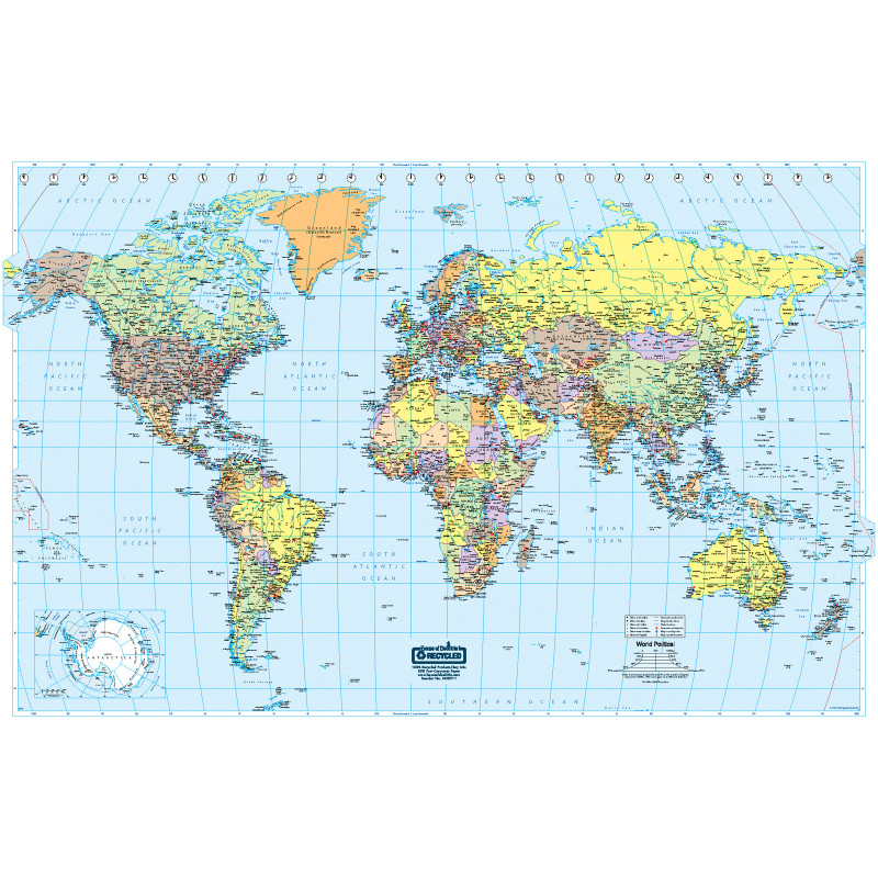
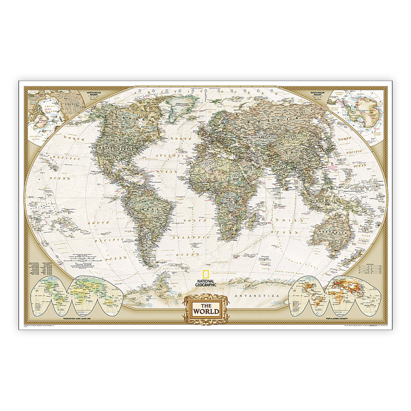
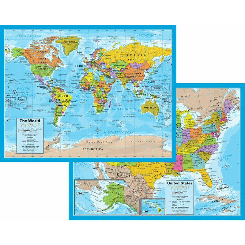
This laminated world map poster is designed for classrooms, educators, and students who need a clear visual reference for geography and social studies lessons. It presents countries, cities, areas of interest, and Earth-surface topography for wall display and instructional use.
The 50 x 32 inch map is made of laminated paper with a multicolor finish and non-glare lamination. It shows detailed topography based on an image of Earth's surface, with labeled countries, cities, and areas of interest. City label size varies by population. The surface can be written on with a water-soluble marker and cleaned with a damp cloth.
Key Features:
- Labeled World Reference: Helps learners and instructors identify countries, cities, and areas of interest.
- Topographic Detail: Provides a visual view of Earth's surface for geography-focused instruction.
- Population-Based City Labels: Uses varying city type sizes to distinguish city populations visually.
- Writable, Cleanable Surface: Supports temporary water-soluble marker notes that wipe away with a damp cloth.
- Non-Glare Lamination: Reduces glare while protecting the paper map surface.
Choose this 50 x 32 inch laminated world map for wall-based geography reference, classroom discussion, and reusable lesson annotations.
| stock: |
28 |
| spec_uom: |
EA |
| brand_name: |
QuickStudy® |
| Manufacturer Part Number: |
QS-9781423251866 |
| Material: |
Laminated Paper |
| Color: |
Multi |
| Brand: |
QuickStudy® |
| Width: |
2.00
in
|
| Height: |
2.00
in
|
| Depth: |
32.00
in
|
No additional information available.